
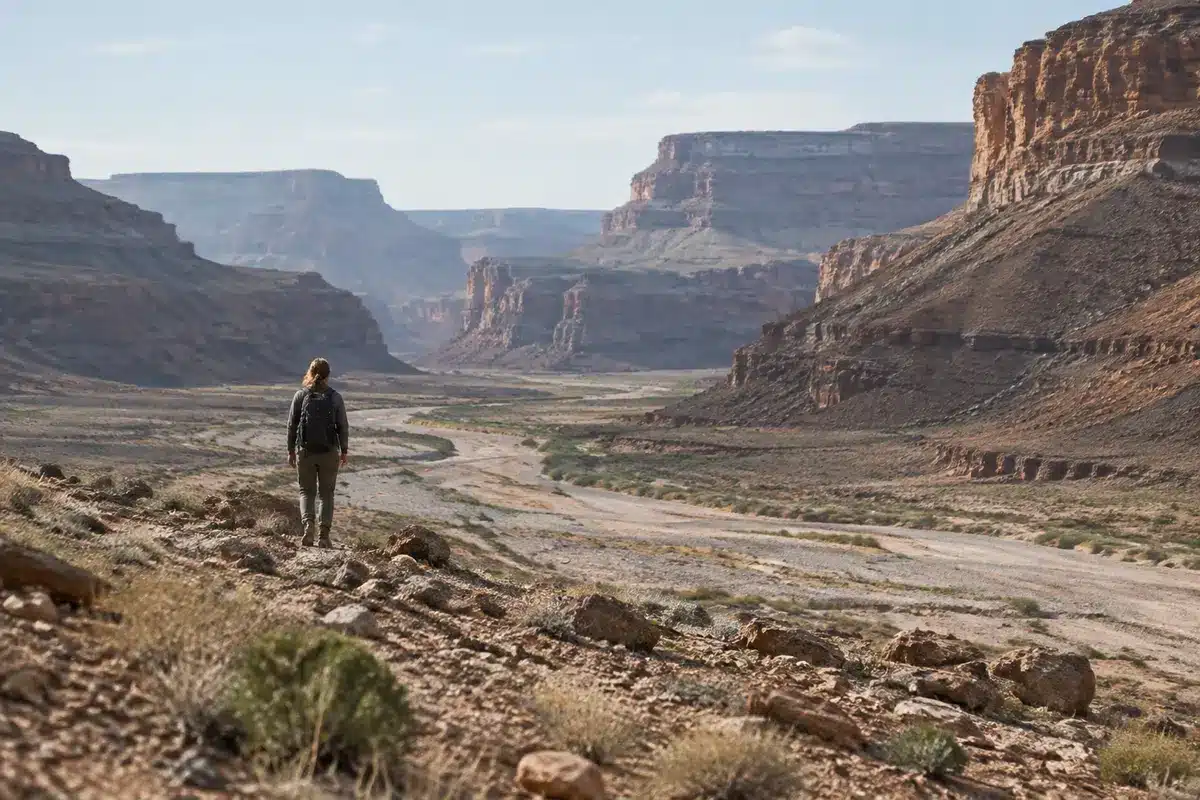
New analyses of rock layers in and around the Grand Canyon suggest scientists are closing in on why roughly 1.2 billion years of the region’s geological record is missing. Recent studies point to a sequence of tectonic uplift, extreme erosion and later burial by rising seas that together erased extensive crustal sections—an explanation that changes how researchers read Earth’s deep past.
The absence of those layers has long been labeled the Great Unconformity, a striking gap in the stratigraphic story that leaves a huge stretch of time undocumented at the canyon’s surface. That gap isn’t just a curiosity for geologists; it complicates efforts to reconstruct long-term climate shifts, continental movements and the timing of key events such as the proposed global glaciations of the late Precambrian.
A run of violent geological events
One thread in the new research traces the problem back to the breakup of the supercontinent Rodinia, beginning roughly 800 million years ago. As Rodinia began to fragment, the edge of what is now North America developed a steep, high-relief margin—described by some researchers as a towering escarpment—exposed to weathering and rivers for many millions of years.
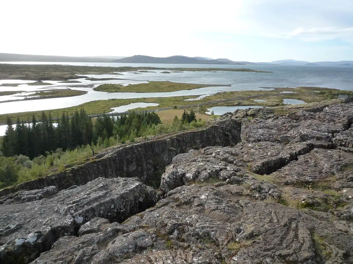
That prolonged fluvial erosion removed vast volumes of rock from the continental flank, producing a landscape that had been shaved down by persistent downcutting long before later climatic extremes arrived.
Uplift, sinking and coastal burial
Another study links the disappearance of strata to large-scale movements in Earth’s mantle. Between about 1 billion and 540 million years ago, mantle flow patterns appear to have pushed continental blocks upward and then allowed them to subside again.

This alternating uplift and subsidence had two key effects: first, it amplified erosion by lifting rock into zones where rivers and streams could wear them away; second, when the land sank, newly exposed surfaces were rapidly flooded and buried beneath marine sediments. In short, material was removed from the continental interior and later covered by ocean deposits elsewhere.
- Tectonic rifting: Broke apart Rodinia and created high, erosion-prone margins.
- Prolonged river erosion: Stripped away miles of rock over hundreds of millions of years.
- Mantle-driven uplift and subsidence: Exposed rock to erosion, then allowed burial by rising seas.
- Deposition in marine settings: Scattered and preserved the eroded material far from its original location.
Collectively, these processes account for the missing interval without requiring exotic explanations. The rocks weren’t annihilated; they were dismantled, transported and ultimately covered by later deposits in other environments.
Why this matters now
Refining the cause of the Great Unconformity has immediate value for Earth science. Improved models of when and how continents rose and fell change interpretations of ancient climates—especially hypotheses about global-scale glaciations in the Neoproterozoic. They also affect where geologists look for buried mineral and hydrocarbon systems tied to these deep-time processes.
For educators and the public, the new work offers a clearer narrative about how dynamic the planet has been: continental surfaces can be reshaped on timescales of hundreds of millions of years rather than remaining static backdrops.
Researchers say the picture is still sharpening. Ongoing field mapping, updated radiometric dating and landscape evolution modeling will test how well the combined rift–erosion–burial scenario holds up across different regions. If the emerging explanation is confirmed, it will give geoscientists a more unified account of a long-standing mystery in North American geology—and a better framework for reading other gaps in Earth’s archive.
Similar Posts
- Massive 250-Mile Mystery Blob Targets New York City: What Is It?
- Utah earthquakes explained: researchers pinpoint cause after decades
- Sahara’s Volcanic Crater Resembles a Giant Skull: See the Stunning Images!
- Yellowstone supervolcano study finds faster magma rise: what it means for you
- King Tut’s Tomb in Crisis: Archaeologists Face Monumental Task to Save It

Miles Harper focuses on optimizing your daily life. He shares practical strategies to improve your time management, well-being, and consumption habits, turning your routine into lasting success.